How to Choose a Location for Real Estate Projects for New Developers
Master of Science Program in Real Estate Development Innovation
Faculty of Architecture and Planning, Thammasat University
Many new real estate developers may face challenges in selecting a suitable location for their projects or may be uncertain whether the land they have purchased is appropriate for the intended development. The Master of Science Program in Real Estate Development Innovation, abbreviated as MIRED at the Faculty of Architecture and Planning, Thammasat University would like to share principles and experiences in choosing a location for new real estate developers.
Choosing a location for real estate development is a crucial task that developers must undertake before starting a project. The location is tied to the land's position and the surrounding environment or economic conditions (Sukulpatt Koompaisarn, 2019). All constructions in the project must be built on the land; if an unsuitable location is chosen, the project may face issues with sales or accessibility. Since real estate projects cannot be relocated, they are subject to various risks and impacts from events and conditions occurring in the project's vicinity. Due to the necessity of selecting a suitable location, Sukulpatt Koompaisarn (2019) and Kachornsak Chaiyong (2017) summarized criteria for considering location selection based on physical factors, abbreviated as PACET Model, which includes the following principles:
- P stands for Public Utilities - The project location should have adequate public utilities such as electricity, water supply, communication systems, etc., that are consistently of sufficient quality. There should also be backup systems, such as alternative power sources in case of outages, to minimize project losses. Developers should consider choosing locations near public utilities (services from government or local authorities). For example, if developing a housing project, the location should be close to markets, kindergartens, police stations, or if developing a residential condominium for the elderly, it should be near hospitals or health centers for quick access in emergencies.
- A stands for Accessibility - Access to the project site is one of the primary factors developers consider when selecting a location, as it affects land purchase prices. If the land lacks legal access, it is considered 'blind land' (or “blind land”), and its assessed value will significantly decrease (Karun Dechpan, 2014). Generally, blind land is not traded unless the buyer is unaware of its status. Banks will not accept blind land as collateral, yet taxes on the land must still be paid annually. Furthermore, Sukulpatt Koompaisarn, Isaret Veeraprachak, and Karun Dechpan (2016) summarized the meaning of accessibility into two cases:
- Legal Accessibility - This means that the land parcel has at least one side adjacent to a public road or river, thus having legal access. If the land does not have legal access (blind land), developers may register an easement or seek a necessary route with the owner of the land blocking access to the public road. The next article will explain how to determine if land is blind, why it often is, how to remedy blind land, and the differences between easements and necessary routes.
- Access’s Quality - In addition to having legal access, the quality of access is also a factor developers must consider. This includes the width of the road in front (which directly affects Right of Way: ROW and is directly proportional to the height of the buildings to be constructed on the land) and the width of the land (the distance of the land parcel facing the road), as it affects building design and the orientation of the building. Additionally, the condition of the access surface impacts the ease of entry for users and developers. If the access surface is well-maintained, vehicles of all types can enter, enhancing the land's development potential.
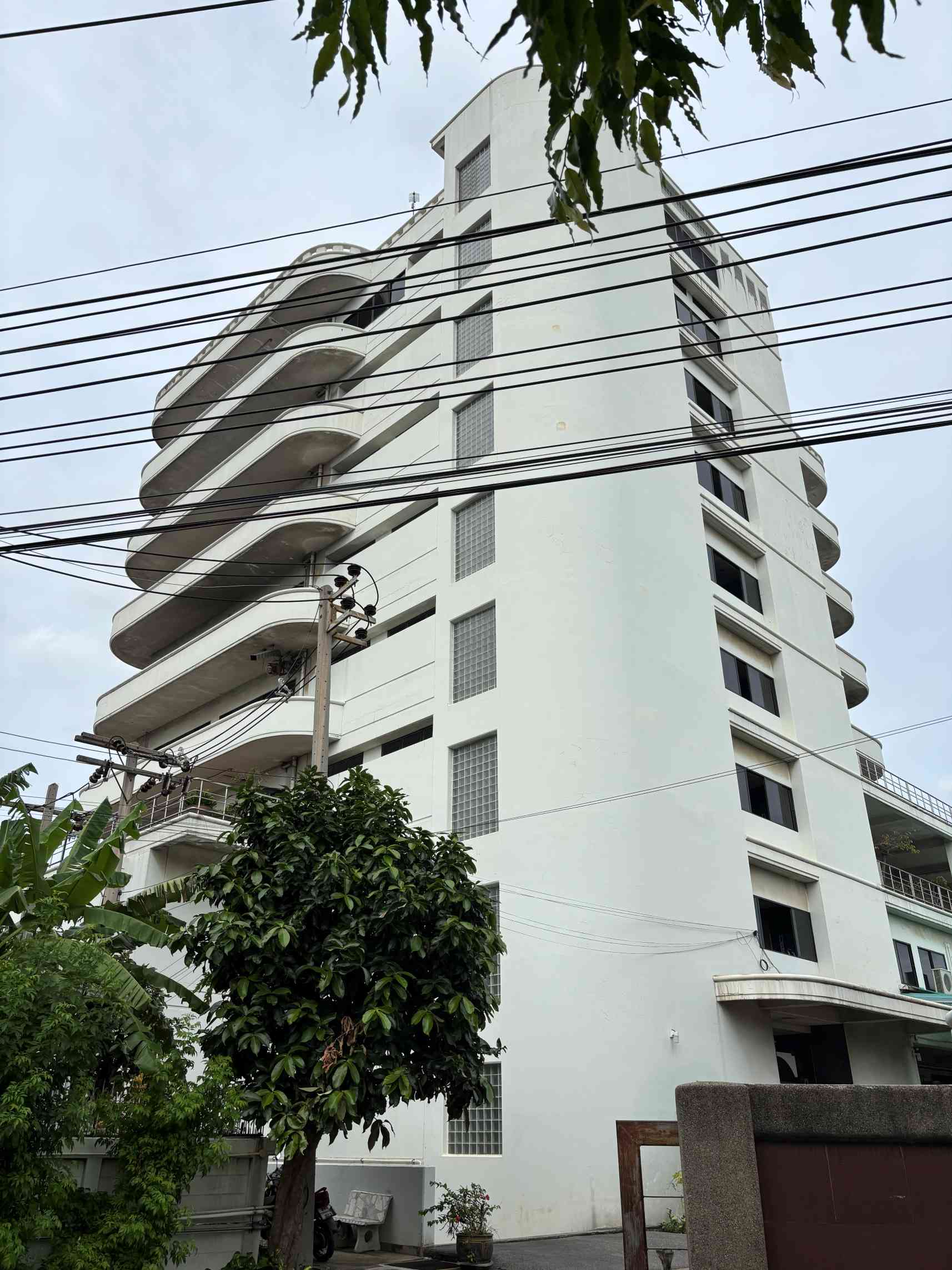
Accessibility to the project is another crucial aspect that real estate developers must analyze thoroughly (Site or Physical Analysis). They must keep an eye on land expropriation lines, which can be inquired about from the Bangkok Metropolitan Administration, the Department of Highways, the Expressway Authority of Thailand, and the Mass Rapid Transit Authority of Thailand. For example, the Faculty of Architecture and Planning, which houses the MIRED Program, can be accessed through both Chiang Rak 1 and Chiang Rak 2 gates. Additionally, Highway No. 1 also provides access to the university.
- C stands for Community - This refers to the community surrounding the land where the project is developed. The characteristics of the surrounding community, such as age groups, generations, religious affiliations, and ethnicities, are social factors to consider. The Community factor is very sensitive; if developers proceed without considering social factors, they may face backlash from the surrounding community. For instance, developing entertainment venues near religious sites may provoke opposition from local believers, leading to community conflicts. Developers must analyze which projects will trigger community reactions, known as the Trigger, while the resulting community response is termed the Ripple Effect. For example, in the Chiang Rak area, Thammasat University Rangsit Center serves as a Trigger, and the surrounding community is the Ripple Effect. Consequently, the surrounding community consists of dormitories, rental apartments (typically with 1-2 year leases), computer shops, laundries, and bars for stress relief from studying. However, it is noted that few projects use the term 'dormitory' due to specific regulations, such as the requirement to separate male and female dorms, tenants being under 25 years old, and the need for a dorm manager. Laws are another critical aspect that developers must study thoroughly (personal common sense should not be relied upon).
- E stands for Environment - This refers to the physical conditions surrounding the project. Developers must consider the geographical and climatic conditions of the land. This includes evaluating the elevation of the land relative to the road or sea level (due to potential flooding risks). Developers should also consider how the land was previously utilized. If it was used for waste disposal, sewage, or industrial purposes, there may be residual toxins affecting future land use. Additionally, cultural beliefs specific to our context will be discussed in future articles.
- T stands for Transportation - Developers should choose locations with access to large public or private transportation systems, ideally two or more types, whether rail, bus, or boat. For large real estate projects, such as shopping centers, considerations should include whether the traffic flow is one-way or two-way and whether it connects to a train station (if so, what the station will be named). For warehouses, considerations should include the movement of trailers or trucks, as there are laws regarding transportation times (commonly referred to as 'time restrictions'). Developers should also consider locations near airports for convenience in travel and goods transportation. For example, the Faculty of Architecture and Planning at Thammasat University is conveniently accessible, with the Red Line train running behind the university, and if traveling by car, the Udon Ratthaya Expressway leads directly to the university's side entrance, which is also close to Don Mueang International Airport. MIRED has had students from the Kingdom of Cambodia who flew into Don Mueang and took a taxi to arrive in time for their 9 AM classes.
From the criteria for selecting a location for project development using the PACET Model mentioned above, real estate developers may adapt or expand the criteria to suit their specific economic and social contexts. However, developers must also consider the characteristics and fundamental needs of the project's users by selecting locations that meet user demands to minimize potential issues. For instance, if developing a shopping center in a suburban area, the location should be evaluated based on the number of public transportation systems and the quality of access for customer vehicles, as well as the loading and unloading areas and adequate parking spaces. Alternatively, if developing a luxury residential project for high-income individuals, considerations should include the surrounding community and environment, as clients often seek high privacy and may not require public transportation but may desire proximity to utilities such as hospitals or religious sites.
Finally, the MIRED program hopes that the PACET Model will assist new real estate developers in selecting suitable locations for their projects, even if only to a small extent. However, if developers can apply other criteria that are appropriate for their projects, it would be even better.
Assistant Professor Dr. Sukulpatt Koompaisarn ([email protected])